
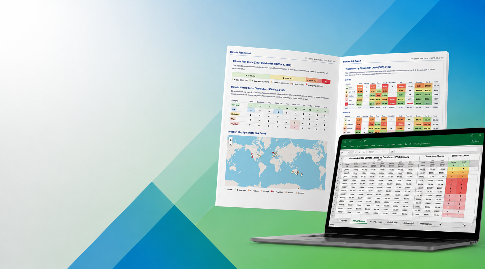

On-Demand
Physical Climate
Risk Reports
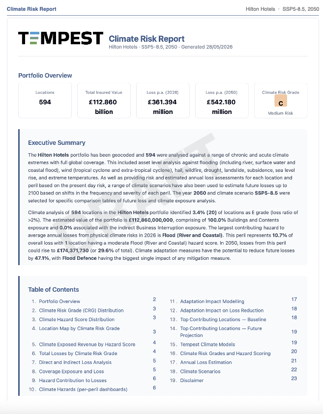
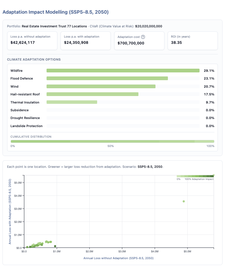
Adaptation modelling
Estimate the ROI of investing in a range of climate resilient measures to reduce losses and improve profitability.
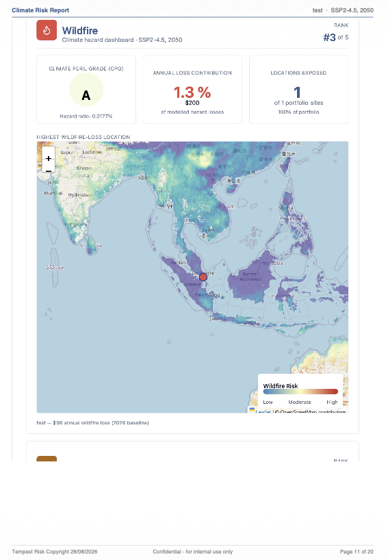
High-Res Hazard Maps
Multi-hazard maps wind, flood, hail, drought, wildfire, sea level rise, extreme temperature, landslide and subsidence. Modelling precision goes down to 5m x 5m resolution.
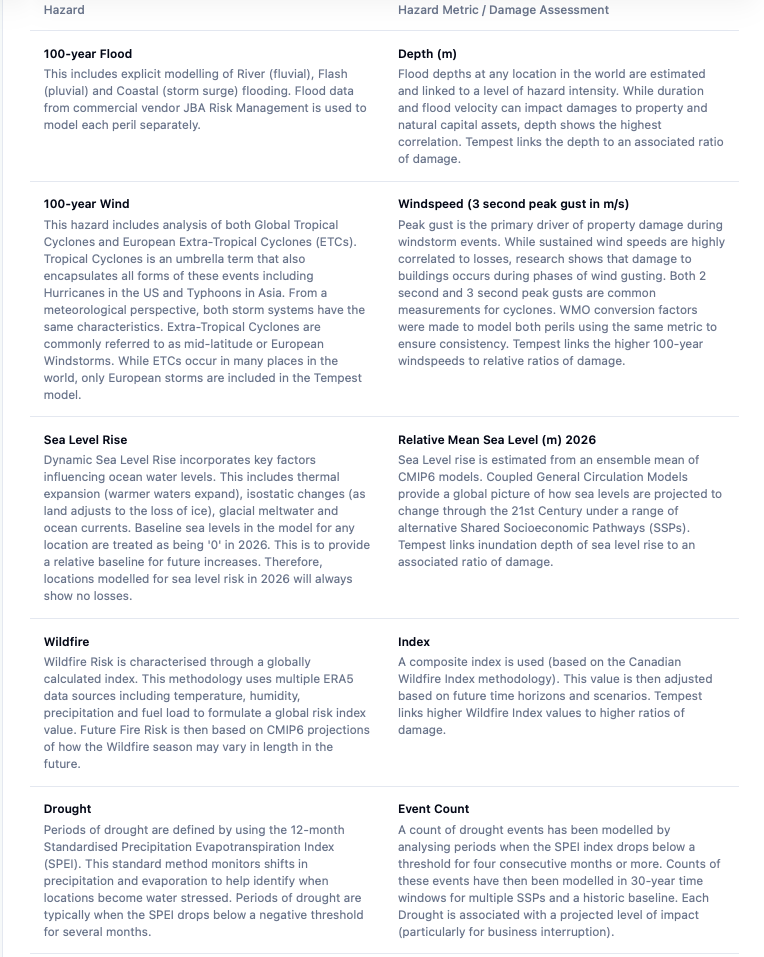
Detail climate modelling documentation
Tempest provide detailed technical documentation on hazard creation, vulnerability assessments, loss modelling methods, and risk classification.
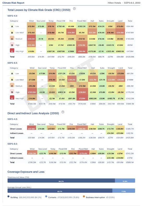
Risk Assessment
Model sub-decadal changes in climate-related damages for each climate peril from both direct and indirect losses from 2026-2100 based on alternative warming scenarios.
Support your disclosure reporting for physical climate risk and resilience with ‘on-demand’ climate risk reports.
Assess the risk to any location(s) in the world for 10 x climate extremes (2026-2100)
Sign-up & retrieve your climate results within minutes
Single-site OR Multi-location Portfolio assessments
Download a 24-page PDF report per location + XLSX Climate Data Packs
Property-level risk analytics
Global Coverage
Compliant with regulatory Climate Stress Tests (TCFD/CSRD/IFRS S2)
What’s included in your Tempest On Demand report?
Annual Climate Loss estimation (per peril and location)
Revenue at Risk
Climate Risk Grades (CRG) and Hazard Scores for each asset
Secure client account & Interactive web application
Interactive chart tools
Multi-hazard maps
Adaptation Figures
% Estimates of contributing hazards
Return on-investment for alternative climate resilience measures